UN
1 Vauxhall Grove
£ 637,500
Description
We don't have a Description for this property.
- Bedrooms
- 0
- Bathrooms
- 0
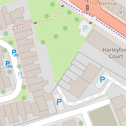

Leaflet © OpenStreetMap contributors
The heatmap indicates the level of crime in the area. The color of the heatmap indicates the crime severity and recency.
Metrics Year-on-Year
- Average area value
- 1,632,098.00 £Decreased by 24.53 %
- Average area rental value
- 3,365.00 £/moIncreased by 25.51 %
- Est rental Yield
- 2.47 %Increased by 65.77 %
- Crime Rate
- 7.00 %Unchanged by 0.00 %
from 2,162,541.00 £
from 2,681.00 £/mo
from 1.49 %
from 7.00 %
Nearby Schools
| Name | Type | Ofsted | Distance |
|---|---|---|---|
| St Anne'S Catholic Primary School | Voluntary Aided School | Good | 0.12 KM |
| Lilian Baylis Technology School | Community School | Outstanding | 0.32 KM |
| St Mark'S Church Of England Primary School | Voluntary Aided School | Good | 0.32 KM |
| Vauxhall Primary School | Foundation School | Outstanding | 0.53 KM |
| Archbishop Tenison'S School | Academy Sponsor Led | 0.53 KM |
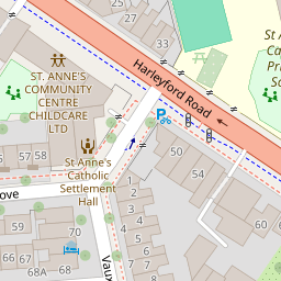
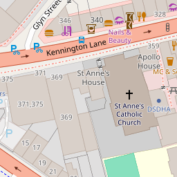
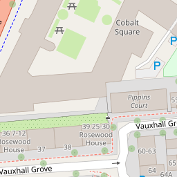
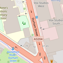
Images
Nearby Streets
| Name | Average Price | Average Sqft | Distance |
|---|---|---|---|
| Spring Mews | £ 0 | 0 | 0.00 KM |
| Bondway | £ 1,443,000 | 0 | 0.00 KM |
| Parry Street | £ 3,163,750 | 0 | 0.00 KM |
| Vauxhall Street | £ 871,250 | 0 | 0.00 KM |
| Gasholder Place | £ 1,176,667 | 0 | 0.00 KM |
Nearby Transport
| Name | NLC | TLC | Distance |
|---|---|---|---|
| Vauxhall | 5597 | VXH | 0.33 KM |
| Waterloo | 5598 | WAT | 2.19 KM |
| Waterloo East | 5158 | WAE | 2.48 KM |
| Brixton | 5081 | BRX | 2.49 KM |
| Clapham High Street | 5301 | CLP | 2.55 KM |
Nearby Listings
| Address | Price | Type | Score | Distance |
|---|---|---|---|---|
| Harleyford Road, London, SE11 | £ 1,000,000 | BUY | 7 / 10 | 0.04 KM |
| Harleyford Road, Kennington | £ 699,950 | BUY | 5 / 10 | 0.04 KM |
| Harleyford Road, London, SE11 | £ 425,000 | BUY | Unknown | 0.05 KM |
| Vauxhall Grove, London, SW8 | £ 1,595,000 | BUY | Unknown | 0.05 KM |
| Vauxhall Grove, Vauxhall, SW8 | £ 2,150,000 | BUY | 6 / 10 | 0.10 KM |
Nearby Properties
| Address | Price | Distance |
|---|---|---|
| 10a Vauxhall Grove | £ 249,999 | 0.00 KM |
| 5a Vauxhall Grove | £ 685,000 | 0.00 KM |
| 10b Vauxhall Grove | £ 284,000 | 0.00 KM |
| 7 Vauxhall Grove | £ 940,000 | 0.00 KM |
| 10c Vauxhall Grove | £ 285,000 | 0.00 KM |